Strongest nor'easter wind gusts expected Saturday night into Sunday morning
 Evening skies over East Penobscot Bay Sept. 24, looking toward Islesboro. (Photo courtesy Jeanne Thompson King)
 Sept. 26, 2026, 12:10 p.m.
Evening skies over East Penobscot Bay Sept. 24, looking toward Islesboro. (Photo courtesy Jeanne Thompson King)
Sept. 26, 2026, 12:10 p.m.
Sept. 26, 2026, 12:10 p.m.
Evening skies over East Penobscot Bay Sept. 24, looking toward Islesboro. (Photo courtesy Jeanne Thompson King)
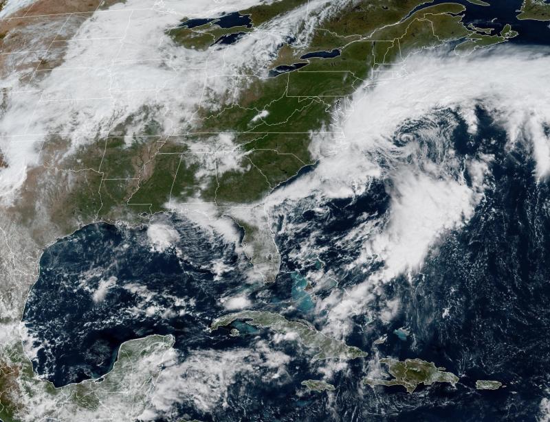
Sept. 26, 2026, 12:10 p.m.The National Weather Service is determining that the strongest gusts from the approaching nor'easter will occur Saturday night in Sunday morning.
"The track is actually a close match for the March 2018 nor`easter which brought several days of coastal flooding," said the NWS office in Gray. "Now the difference is that storm was much stronger and astronomical tides were about a foot higher than those this weekend."
The NWS meteorologist added: "Available guidance is in solid agreement with seas peaking around 15 ft in the vicinity of Jeffrey`s Ledge during the day Sat. Given the long duration northeast winds and favorable long fetch plus wind gusts perhaps approaching storm force I could see those significant wave heights reaching 18 ft or so. High Surf Advisory remains in effect for both large, breaking nearshore waves and high rip current risk."
The duration of the rain — from Saturday mid-afternoon through Monday — will lend to a long-needed soaker.
"I have fairly high confidence that a 48-plus hour period of greater than 30 kt gusts is likely," said the NWS meteorologist. "There is a window late Sat into Sun when we may mix down some slightly higher gusts. Either way leafed trees stressed by drought conditions and soaking rainfall may combine to make tree damage a little more likely than usual."