Earthquake shakes Midcoast region
 The University of Maine seismometer charted the 2.5-magnitude earthquake off Boothbay Harbor on January 14. Alice Kelley, a faculty member in the UMaine School of Earth and Climate Sciences, prepared a seismometer graphic displaying the occurrence. Below: A Google Maps image of the epicenter's location, marked by a green arrow.
 A Google Maps image of the epicenter's location, marked by a green arrow.
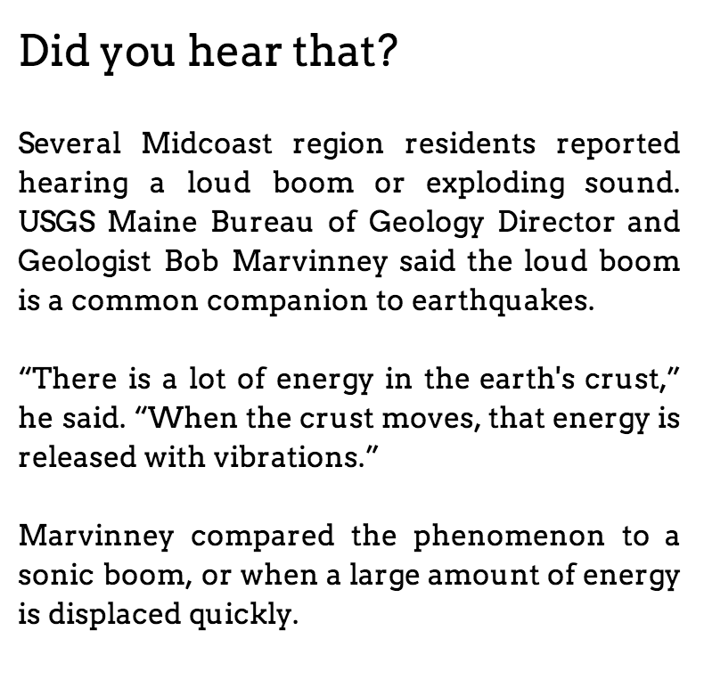 The University of Maine seismometer charted the 2.5-magnitude earthquake off Boothbay Harbor on January 14. Alice Kelley, a faculty member in the UMaine School of Earth and Climate Sciences, prepared a seismometer graphic displaying the occurrence. Below: A Google Maps image of the epicenter's location, marked by a green arrow.
A Google Maps image of the epicenter's location, marked by a green arrow.
The University of Maine seismometer charted the 2.5-magnitude earthquake off Boothbay Harbor on January 14. Alice Kelley, a faculty member in the UMaine School of Earth and Climate Sciences, prepared a seismometer graphic displaying the occurrence. Below: A Google Maps image of the epicenter's location, marked by a green arrow.
A Google Maps image of the epicenter's location, marked by a green arrow.
For the second time in three months, the Midcoast region was shaken by an earthquake.
On January 14 at approximately 1:19 p.m., several people in the Midcoast region felt a heavy rumbling. Bob Marvinney, USGS Maine Bureau of Geology's Director and Geologist, said a 2.4-2.5 magnitude earthquake is the culprit behind the tremors felt for several seconds Monday afternoon.
It's exact epicenter could not be located because of its small size, but Marvinney said the location was in a seven-mile radius a little off the coast of Boothbay Harbor.
The National USGS office, located in Colorado, has said the epicenter is southeast of Boothbay Harbor.
“There were a lot of towns that felt (the earthquake),” Marvinney said. “From Brunswick and Woolwich, all along the Midcoast. It's that classic small earthquake we get on the coast.”
Its small size shrouded the earthquake and makes locating its exact location difficult, Marvinney said.
“With small earthquakes it's hard to get a solid center,” he said. “A lot of the instruments used are for the bigger earthquakes; there are not a lot of instruments that pick up the smaller (earthquakes).”
The earthquake is the second one to hit the Midcoast region in the last three months. On October 16 a quake that registered a 4.0 on the Richter Magnitude Scale was reported in southern Maine. There were no casualties or any reported structure damage during the October 16 quake.
As of Tuesday, Jan. 15, Lincoln County Emergency Management Agency Director Tod Hartung and Boothbay Harbor Police said no they receive no reports of damage as a result of the January 14 quake.
Marvinney said that unlike the 4.0 that shook in the night October 16, the quake on January 14 was a bit more common.
“If you look at New England as a whole, it's pretty even throughout,” he said. “There are some hot spots, but for the most part it's pretty even.”
The reason behind the earthquakes could be tied to one of two occurrences: a shift in the tectonic plates beneath the earth's crust, or by the earth “pushing back.”
“Not too long ago, the landscape was covered in thousands of feet of ice,” Marvinney said. “That tremendous weight pushed down on the crust and it still pushes back out.”
The tectonic plate, which spans from California to the west and extends east to approximately halfway across the Atlantic, was the source of the October 16 earthquake.
“The plate tends to move in jerks,” Marvinney said.
The exact cause of Monday's earthquake will likely remain unknown for the same reasons its exact location will: it was too small to be properly picked up by a host of seismologic equipment.
Molly Hutchins of On Board Fabric in Edgecomb said while the quake only registered a 2.5, it certainly felt close.
“It felt like it was centered right in the barn,” she said. “I had three or four customers in the store, some friends were over, and my husband was here and we all just stopped.”
Hutchins said her first thought was that snow had slid off her metal roof.
“We checked and made sure our furnace hadn't blown up,” she said. “So, our next thought was about the fire down the road. We thought it might have had something to do with that.”
At 11:45 a.m. January 14, an Edgecomb house sustained damage during a structure fire unrelated to the earthquake.
According to the spokesperson Eric Howes, the January 14 earthquake was heard and felt at Maine Yankee, the decommissioned nuclear power plant in Wiscasset. Immediately following the quake workers conducted a site inspection but observed no damage. Later on, workers did another evaluation and confirmed that no damage was sustained.
Event Date
Address
United States