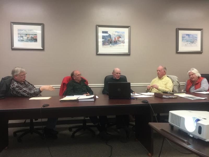
Board reviews DEP recommendations
The Boothbay Harbor Planning Board has received a list of recommended changes to the east side zoning proposals from the Department of Environmental Protection’s Colin Clark, Chair Bill Hamblen shared at the Nov. 28 meeting.
Many of the changes involved mostly small language cuts and additions, but there were three major changes Clark recommended the board address: removing residential use in the proposed working waterfront district; revisiting high water setbacks and likely changing the distance from the proposed 25-foot setback to 75 feet; and changing how heights are measured – from the down-slope side, not the median grade as has been done in the past;
The board first voted, unanimously, that all the recommended changes be approved except the three major changes which they would address later. Then the board unanimously approved the recommended change that residential uses not be allowed in the proposed working waterfront district.
In an email to Code Enforcement Officer Geoff Smith and the planning board, Clark said the main reason he would not endorse a 25-foot setback from high water is property depth. If a nonconforming structure, built before the shoreland zone laws, is demolished, in most cases the depth of the property would allow enough room for a building to be placed at least 75 feet away, said Clark; 75 feet is also the setback in the DEP's Chapter 1000 rules.
The board voted to gather more data to reinforce the proposed 25 feet or find a new number. However, Smith said Clark is most likely not going to budge without compelling evidence that necessitates anything less than 75 feet.
On the height issue, Hamblen said he wants to push back on Clark's insistence the town adhere to Chapter 1000, mostly due to the disincentive for developers to follow the town's aesthetics on the east side.
“He did not say that we would be required to adapt but he did call our current system incorrect,” said Hamblen.
Hamblen said measuring a proposed building’s height from the lowest area on a slope could encourage developers to build along Atlantic Avenue, not away from it toward the water.
“By going to this measurement scheme, we’re encouraging the buildings to be oriented parallel to Atlantic Avenue rather than perpendicular ... which would allow, I believe, better sight lines and less visual impact. I think that's worth fighting for at least for two weeks.”
Smith said he would ask Clark if the board can do it, but believes Clark will reply that the town can do anything it wants to its language, but must match the methodology of the shoreland zone laws.
Hamblen said a warrant will take time, including public hearings and notices, and the proposals could make the May warrant if the process continues with diligence.
Harbor master plan
Churchill reported he, member Margaret Perritt, alternate Jon Dunsford and Selectman Mike Tomko have made progress on research into a harbor master plan.
After pulling together previous studies on the water throughout town, the Camoin report, and the comprehensive plan and providing the background for the next update of the comp plan, most of the work may already be done, said Churchill.
Next steps will be asking selectmen to set a working budget and timeline for the study. Before a consultant is picked, there should be a study committee, hopefully with members from both boards, Smith, waterfront and retail business owners, the Coast Guard, Lincoln County Regional Planning Commission and planners from outside the region.
The next meeting is at 7 p.m. Wednesday, Dec. 12 in the town office.


