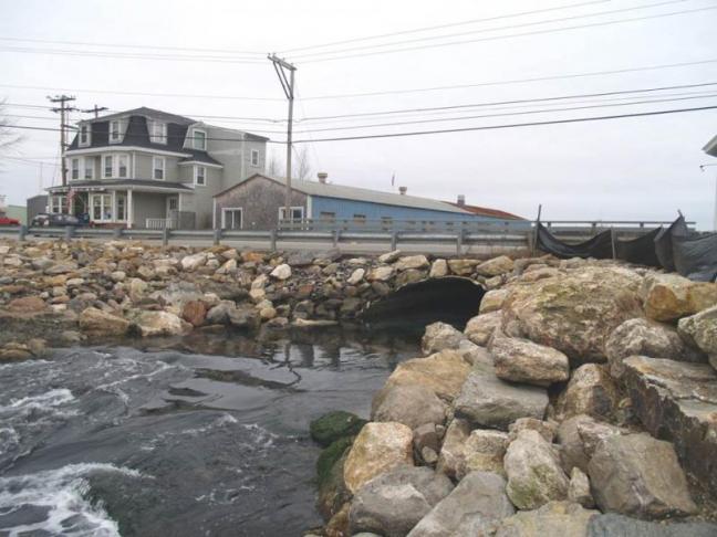
Waterfront property owners might be in for a surprise when they find out their home could now be listed in a flood zone.
The Federal Emergency Management Agency’s new maps extend flood zones further inland, but will not take effect until 2015. The map drafts are now available in town offices in the Boothbay region. However, some residents have already been told to buy flood insurance if their home is under mortgage.
A Southport man who prefers anonymity for legal precautions, owns a house on Cape Newagen. He said the bank notified him recently that he needed an elevation certificate for his property. He took out a mortgage in 1991, but never had to purchase flood insurance. After sending the elevation certificate to an insurance broker, he received a quote for a $34,000 insurance policy.
The man said said he is unsure whether he is going to have to sell his house.
Seasonal resident Paul Weaver bought a house 12 years ago in Boothbay Harbor's Factory Cove. Last year he transferred the mortgage from his home in Massachusetts to his Boothbay Harbor home because of the favorable rates. Less than 24 hours later the bank asked for a copy of his flood insurance policy.
Weaver went from paying nothing to being forced to take out a $5,000 dollar policy.
“My back was against the wall because the flood insurance people won't negotiate with you and the bank won't negotiate,” Weaver said. “They won't adjust. Even when there is an error made in the regional policy they will only adjust on an annual rule.”
It is uncertain how many people will be affected by the new flood maps, but it is estimated more houses and businesses, particularly secondary summer homes, will be put into high risk zones and owners may have to pay higher premiums.
Glenn Tilton of Harold W. Bishop Agency Insurance said he has seen local businesses and homeowners affected by an increase in flood insurance policies.
“There (have) been some rate increases across the board in general, but every October 1, FEMA revises their guidelines once a year. I suspect at least in the next couple three or four years, you're going to see some increases,” Tilton said. “Until such time, FEMA feels they can give an appropriate premium for the risk they are insuring.”
FEMA's redrawn maps are based on new topography, tidal records, wave velocity, wind speeds and other factors that affect the coastline, according to the Lincoln County Regional Planning Commission.
“Congress has said they wanted the flood insurance program to be self sustaining,” said Bob Faunce, a Lincoln County planner. “Eventually they want premiums to cover losses, and that's not been the case. So on that basis, rates will go up to cover the true risks involved.”
Faunce is referring to the Biggert-Waters Flood Insurance Reform Act of 2012, which will effectively roll back FEMA's subsidized flood insurance and impose higher premiums to reflect the “true risks” involved. The idea stems from an effort to reduce the $24 billion federal deficit.
As part of flood reform, the banks are now requiring elevation certificates on properties that are in the new flood zones.
Some properties that were considered outside the flood zone will now be in the flood zone, Faunce said, and therefore residents will be required to buy flood insurance if they have a federally backed mortgage.
As of December 2012 there were 9,211 flood insurance policies in Maine, and some 3,319 are now expected to be affected in some way by the flood insurance reform acts, said Sue Baker, program coordinator for the Maine's Department of Agriculture, Conservation and Forestry.
Baker said older buildings that were built long ago, or are grandfathered, will be more at risk of having insurance rates go up.
“I would dare say that we're underinsured as a state,” Baker said. “When I look at the size of our coastline and the islands it encompasses, I would say with an educated guess that there are a lot of people sitting out there without flood insurance.”
But it's not all bad, Baker said. While some properties will be moved out of the flood zone because of the new delineation of the flood hazard area, individual property owners will be able to appeal their case by way of a map amendment, which could either downgrade the rating of the flood hazard or remove the property completely out of the flood zone.
Baker said municipalities will have a 90-day window to appeal once the maps are finalized.
However, there is no mandatory disclosure notifying homeowners if their property falls in the flood zone. Baker advised coastal residents to stay informed about their property.
“My best advice is for people to do their homework particularly for those considering buying a building that they don't know whether or not if it's in a flood hazard area .... It could add a good amount to a monthly mortgage that someone wasn't expecting,” Baker said.
As for the Southport resident on Newagen, he is now faced with an uncomfortable circumstance. If he were to sell the house, someone would likely have to buy the house with cash to avoid the costly insurance tacked on to the mortgage.
While the flood insurance reform act will cut federal subsidies, there is an affordability act set to be introduced by the Senate that would delay premium increases until FEMA has completed an independent study on flood insurance. But Congress has yet to act on any bills.
Preliminary flood maps are now available to view at town offices in the Boothbay region.
For more information on the Flood Reforms of 2012: read the Flood Insurance Reform Act of 2012, peruse a quick flood insurance reference guide, and find out who will be impacted.


